Ultra-Trail du Bout du Monde - My First Ultramarathon
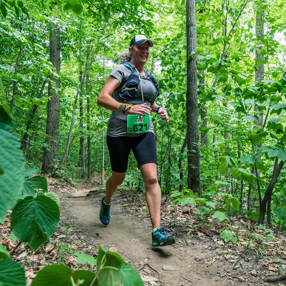
/I haven’t really been writing a lot over the past couple of years. Part of the reason is that the lazy Saturday mornings that I used to spend with a coffee at my computer have instead been spent running in the woods. Last year I ran my first marathon (Marathon des Erables) and my second marathon (Marathon du P’tit Train du Nord). I was proud of that accomplishment, but I like running on trails a lot more than I like running on roads or bike paths, so this year I decided to run my first ultramarathon.
What’s an ultramarathon?
An ultramarathon is any distance longer than a marathon (42.2km). The difference between most marathons and most ultramarathons is the terrain. Marathons are most often run on relatively flat courses on pavement. Ultramarathons are most often run on narrow dirt trails in the woods with lots of ups and downs. The “starter” distance for ultramarathons is usually around 50km.
Choosing a first ultramarathon
I knew my first ultramarathon wasn’t going to be easy. If it was going to be tough, I wanted to be sure it would be spectacular. I didn’t want to run loops of the same course over and over again. I didn’t want to run trails that I run all the time anyway in Gatineau Park. I wanted a race that was somewhere I hadn’t been before and that would take my breath away.
I don’t know exactly how I came across it, but I found the Ultra-Trail du Bout du Monde on facebook sometime last summer. It takes place in Forillon National Park at the tip of the Gaspé Peninsula and follows the final segment of the International Appalachian Trail. In addition to fantastic trails, I knew there would be breathtaking views of the Gulf of Saint Lawrence.
I also knew that it was around a 12 hour drive from home. Road trips are always more fun with friends, so I recruited my friend Jen to do the race and the road trip with me.
Training for the ultramarathon
I started my training for the ultramarathon on April 1st. I had spent the three months prior to that recovering from plantar fasciitis and I had to ease back into a heavier training load and longer runs. To do that, I volunteered to be the 5 hour 30 minute pace bunny for the Ottawa marathon at the end of May, which meant I spent a lot of time running at a pace that is very slow and comfortable for me. A good way to build a base. After the marathon was done, I had to start doing harder but also more interesting work. I had to go faster (sometimes) and go higher (often). I got to spend most of my training time on trails and included quite a few training races along the way.
I used the 50km training plan in Krissy Moehl’s book Running Your First Ultra and then adapted it to my schedule and interests. I inserted a bunch of training races in and around the Ottawa/Gatineau region and also spent lots of time on the trails in Gatineau Park and at the ski hills around the area, including Camp Fortune, Mont Cascades, Tremblant, Calabogie and Edelweiss, going up and down and up and down.

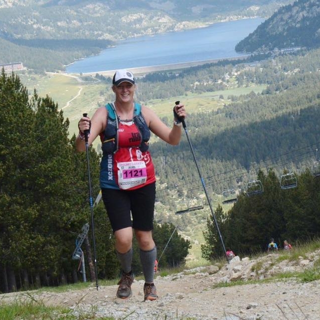
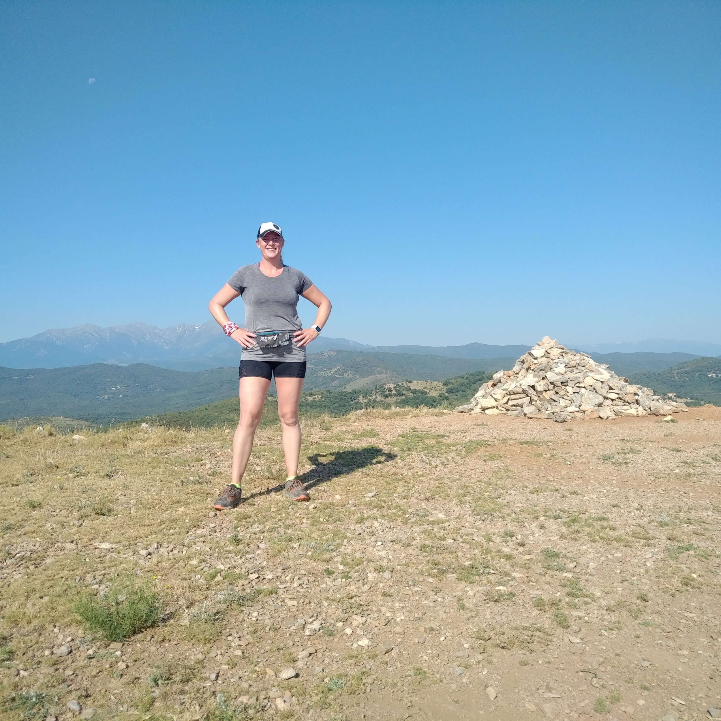
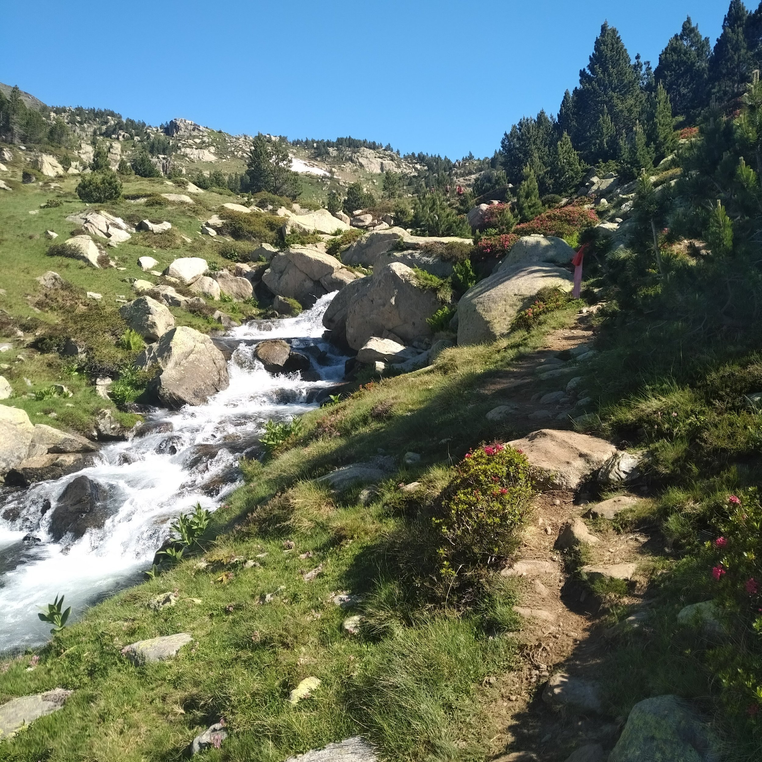
I was also lucky to be able to fit a trip to France into my training plan. From my in-laws home, I could head out directly onto trails that had some pretty amazing climbs and views. We also spent a couple of days in the Pyrenees mountains so that I could run the 24km Kilians Classik Trail des Lacs in Font Romeu (my first international race).


Getting to the race
The Ultra-trail du Bout du Monde is at the “bout du monde”, or at least at the “bout du Québec”. It is a minimum 12 hour drive to get there, if there were no traffic slow downs, no stops, no detours (oh but there are always traffic slow downs, stops and detours). To make the drive more reasonable, Jen and I decided to split it up — driving to the race on Thursday and Friday and driving back home on Sunday and Monday.
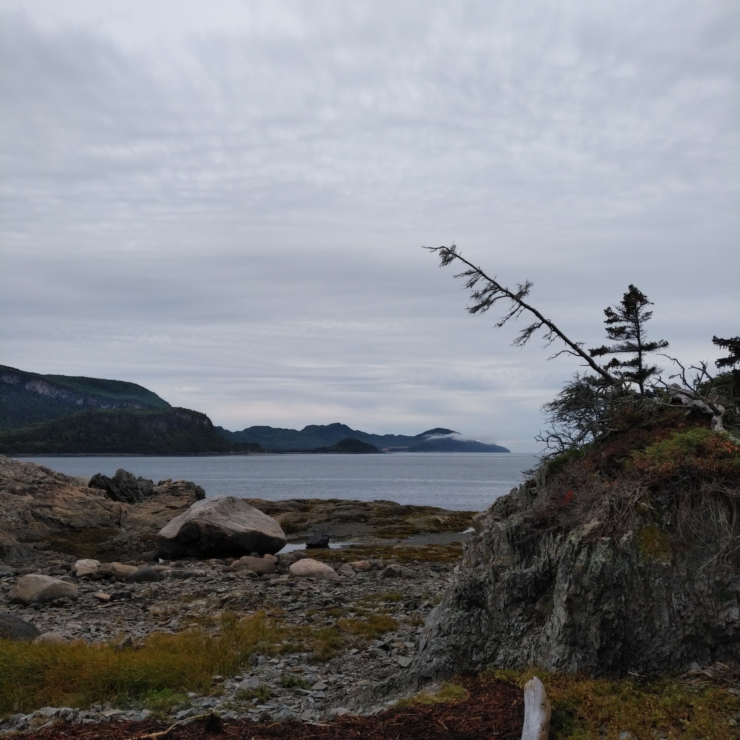
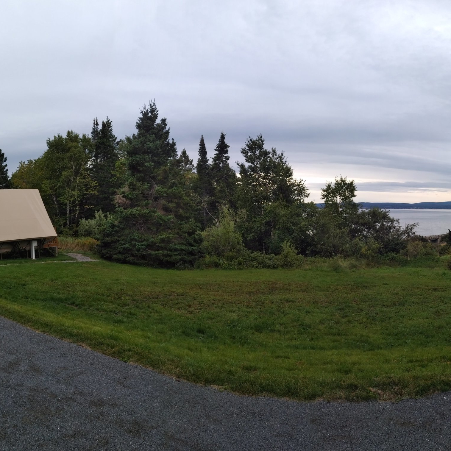
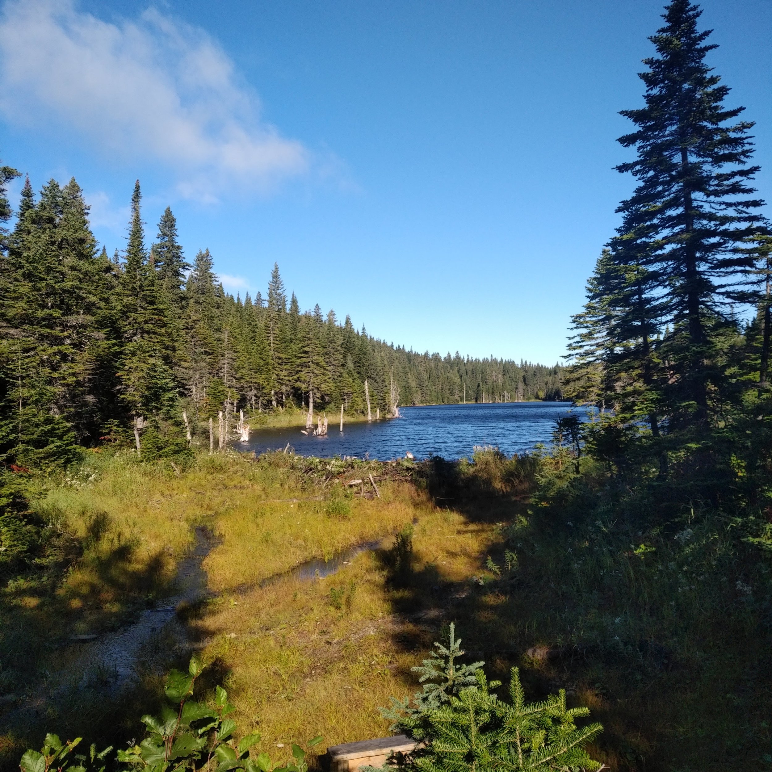
We decided to camp at the Parc national du Bic near Rimouski on the way up and the way back. In September, camping seemed like a reasonable choice. However, it ended up going down to around the freezing mark both nights that we stayed there. It was so cold in the tent and I learned that my resting heart rate is about 5 to 10 beats lower when I’m freezing my ass off. At Parc du Bic, we got in a hike on the way up (9 beautiful kilometres of trails) and on the way back (3 painful kilometres of trails). The park is spectacular and I definitely want to go back.

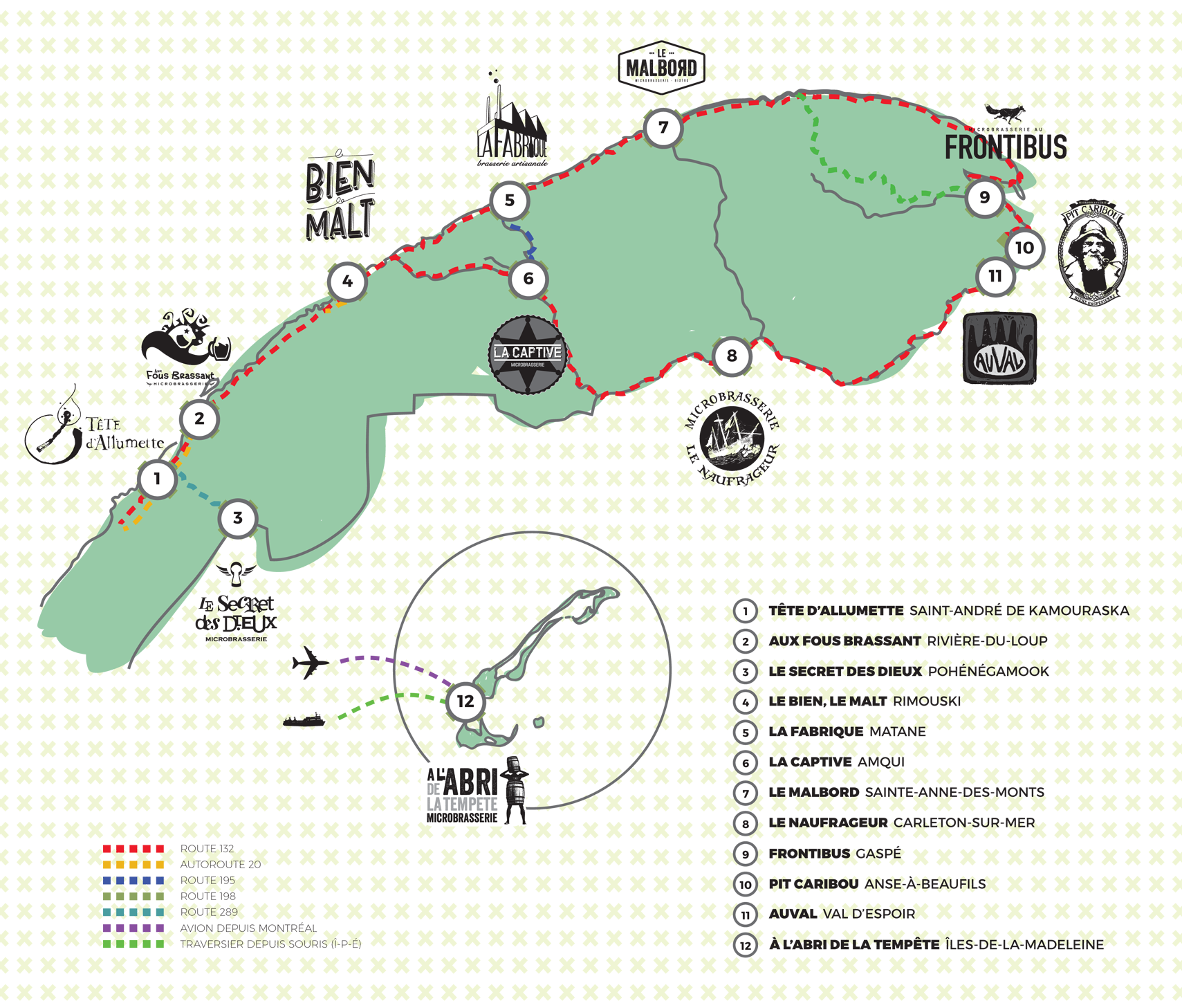
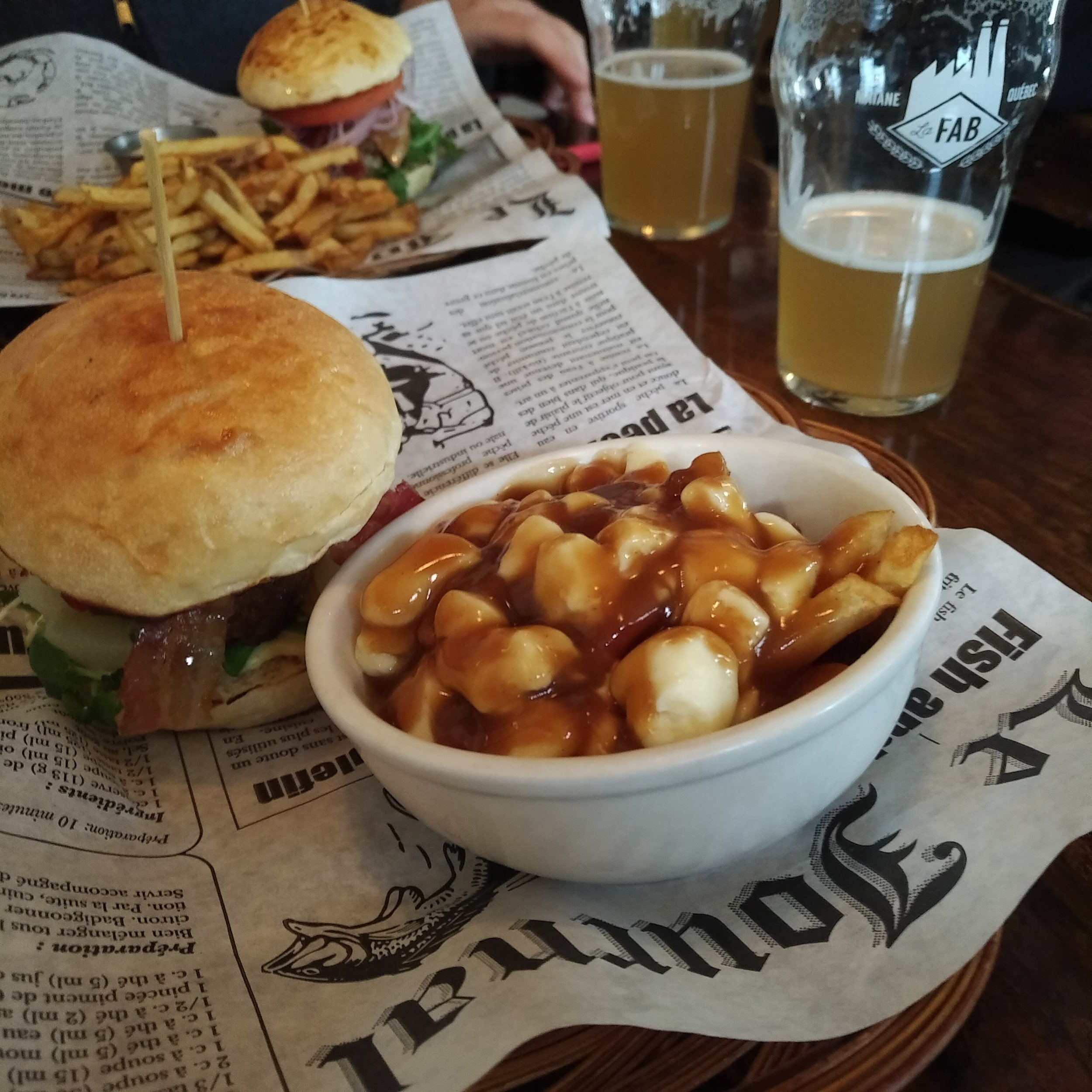
Jen and I both love good beer, so we also used the road trip as an opportunity to visit a lot of breweries along the Route des bières de l’est du Québec .


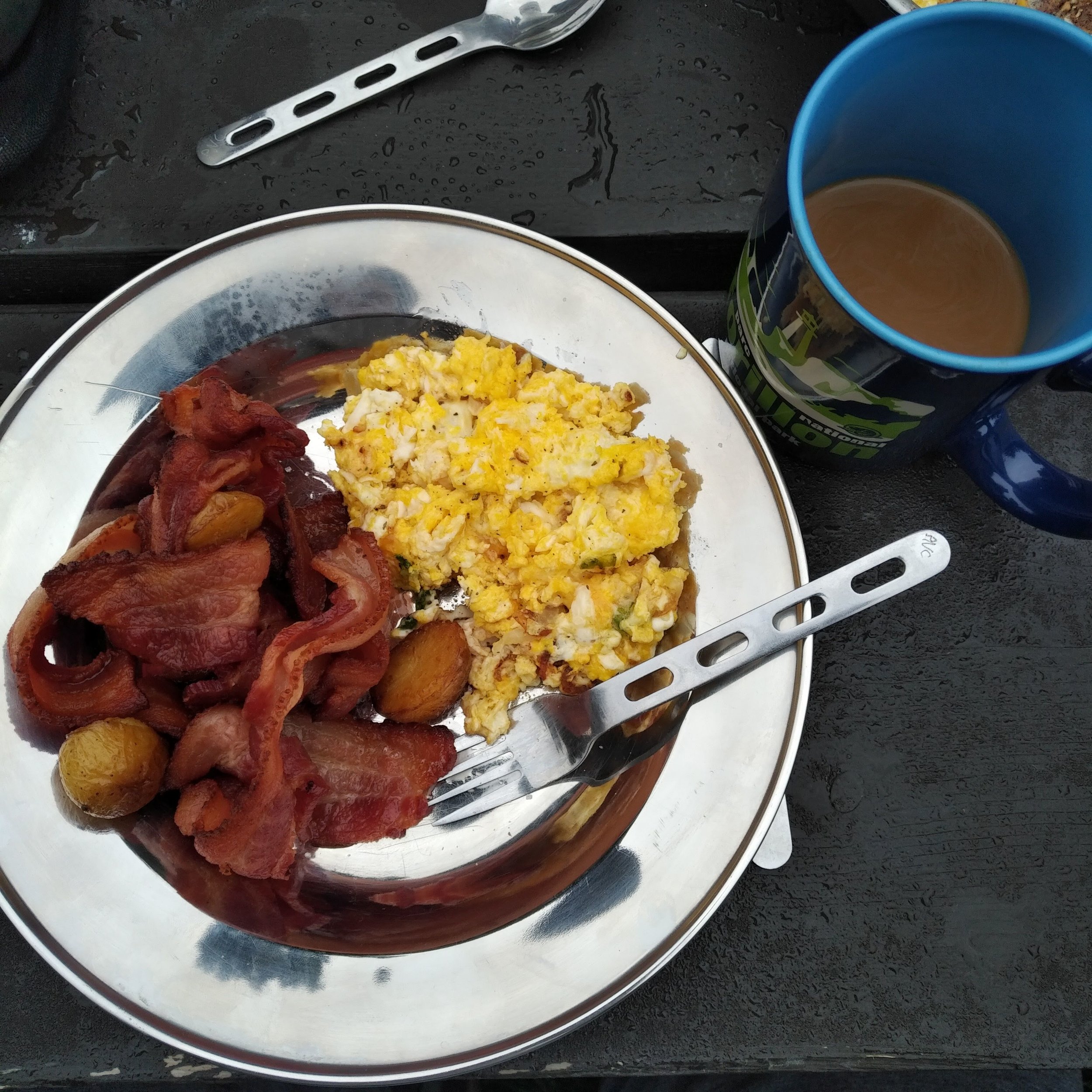
For the night before the race and the night after the race, Jen had booked what we thought was the perfect campsite. It was one of those glamping tents in Forillon National Park, just two kilometres from the start line. When we were about 30 minutes away from the park, we turned on the radio and heard that our campground had been closed due to forecasted high winds (over 100km/hour) and also that the 110km race was shortened to a 90km race and the start was postponed from 2am to 6am. Nothing about our race had changed, but we did have a bit of a scramble trying to rearrange accommodations. We found a cabin to stay in that wasn’t too much further away, but we also lost power there and did much of our race prep in the dark with headlamps on. I had to improvise by using the battery on my computer to charge my watch for the race since I couldn’t plug it in.

The Race
When I was preparing for the race, I divided it into sections and tried to figure out as best as possible what to expect in each one, even though I'd never been to Forillon before. Using the map and elevation profile provided by the race organizers, as well as some strava records that I found from last year's race, I plotted out my strategy. I had best case and worst case times for each section that I used during the race to be sure I was still on track to finish under the cut-off of 10 hours.

The Ultra-Trail du Bout du Monde Enduro Force 53km route
Section 1: The 10km climb (0 to 10km)

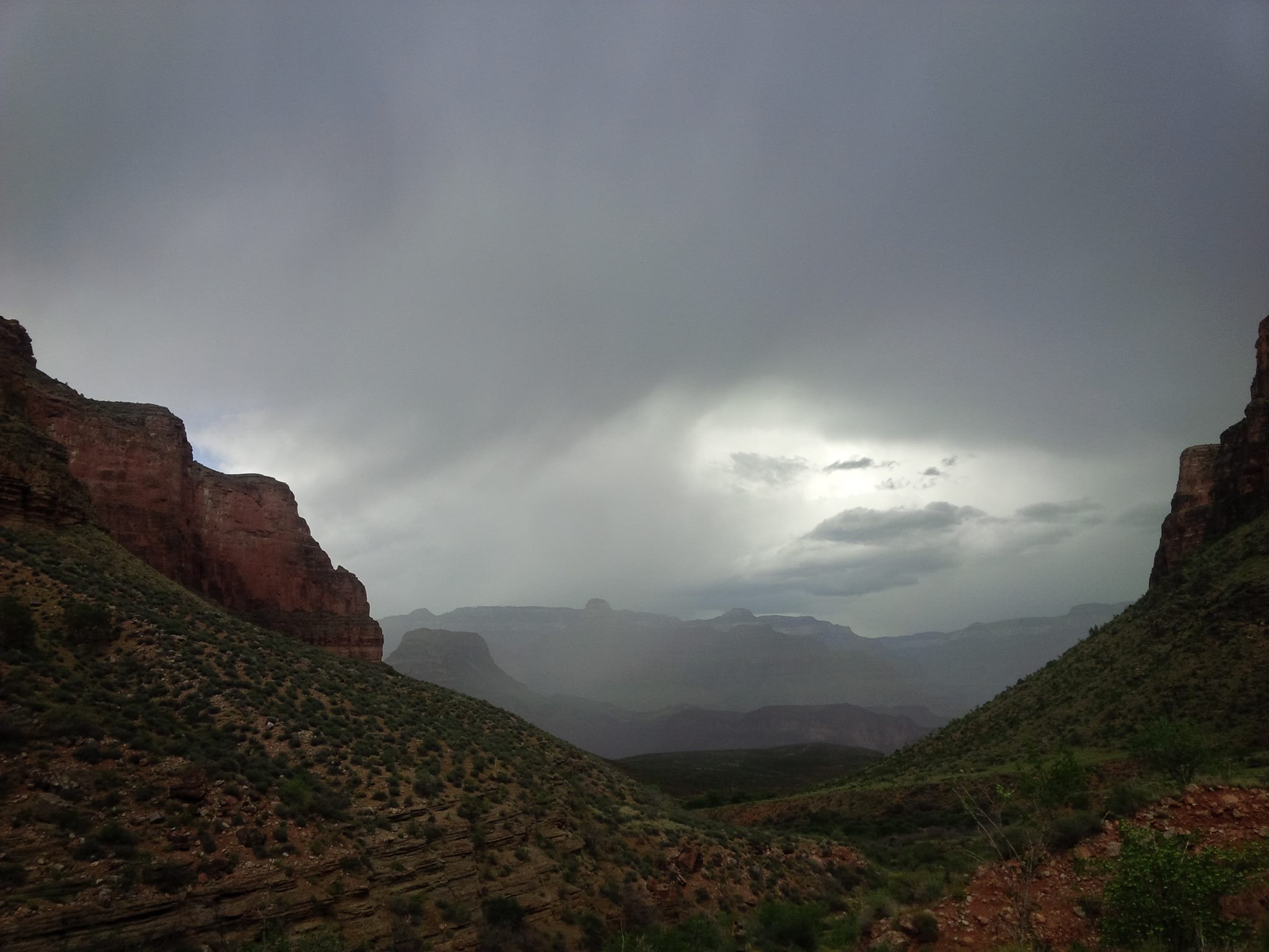
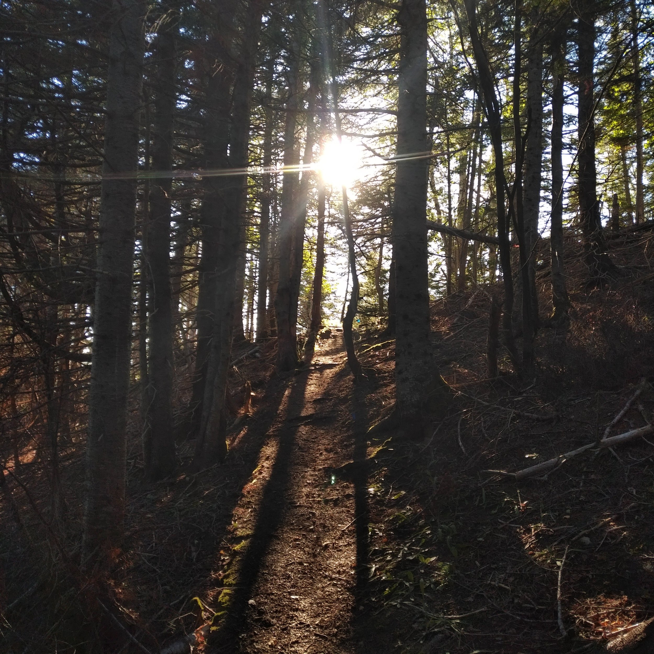
The race started at the trailhead of the Sentiers Les Lacs trail in the west end of Forillon National park. The trail is part of the International Appalachian Trail. The trail starts climbing pretty much right away. I knew from the elevation profile that most of the first ten kilometres I would be climbing, so I took it slow and didn't push too hard, just keeping a nice steady fast hiking pace on the way up and running whenever it flattened out. This section wasn't nearly as challenging as I expected (I imagined it being similar to climbing Tremblant, but it was much gentler). There were a lot of trees down from the wind storm the night before, but we could get around all of them easily.
Section 2: Down to the first aid station (10km to 18km)

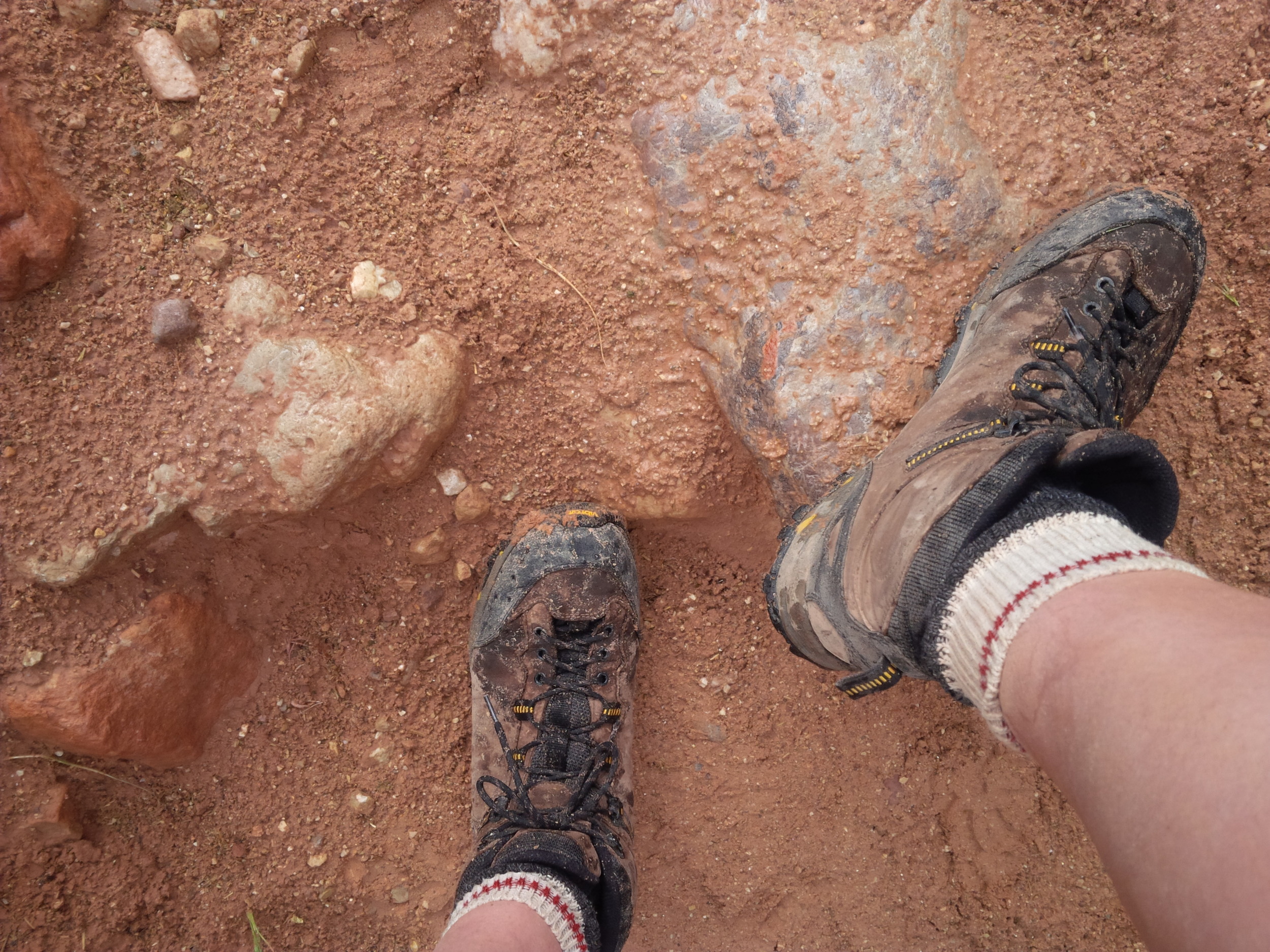
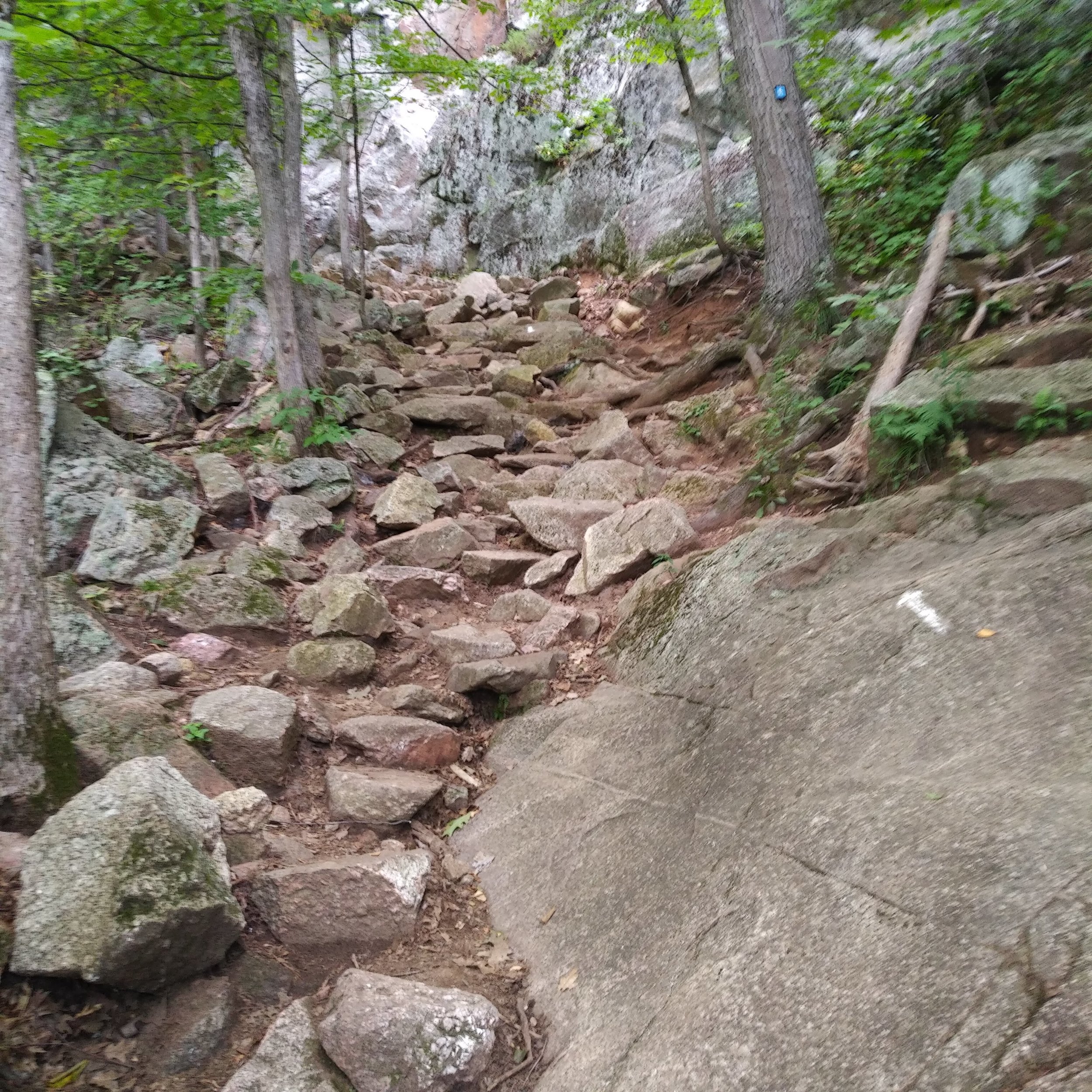
The next section was another 8km that took us down towards the first aid station. This section was mostly downhill, but there were a lot of sloppy muddy sections. Not so muddy that you had mud up to your knees, but muddy enough that you had to be careful not to fall. There were some parts with nice runnable downhills, but some that were sticky and wet and harder to navigate. There was even a mini backhoe in the middle of the trail in one spot.
Throughout the climb and throughout this section, I ate whenever I could, but still didn't get through the amount of food that I thought I should eat during the first 18 kilometres. That continued throughout the rest of the race. I drank as much as I thought I should (water and electrolytes) and felt like I was eating all the time, but still didn't get nearly as many calories into me as I planned.
Section 3: Up and down and up and down (18km to 28km)

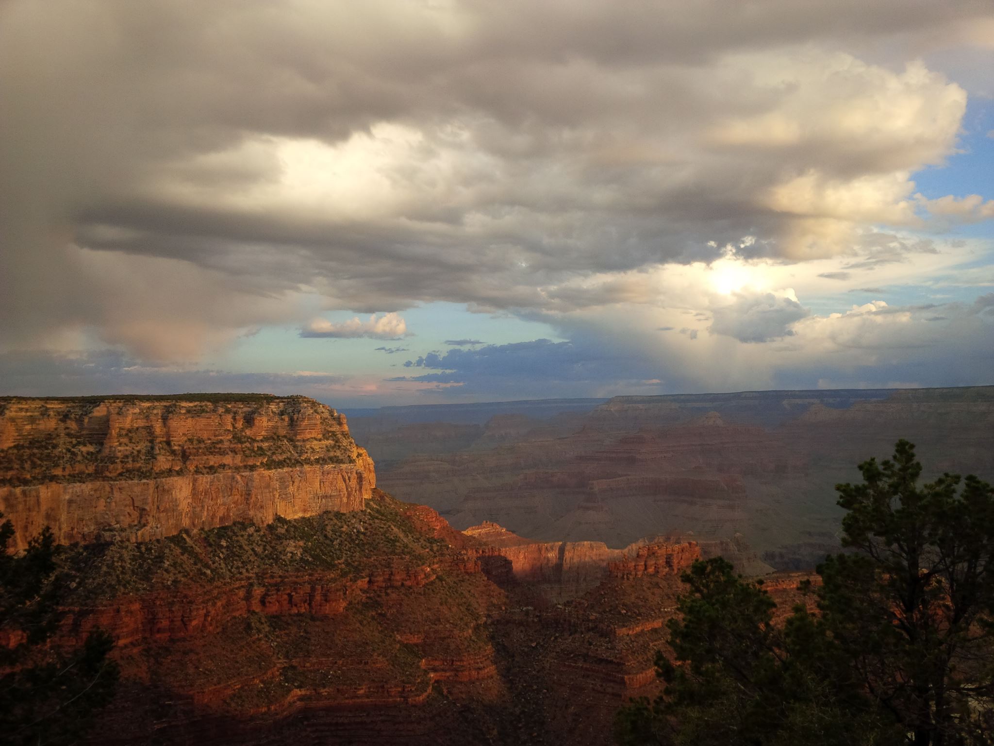
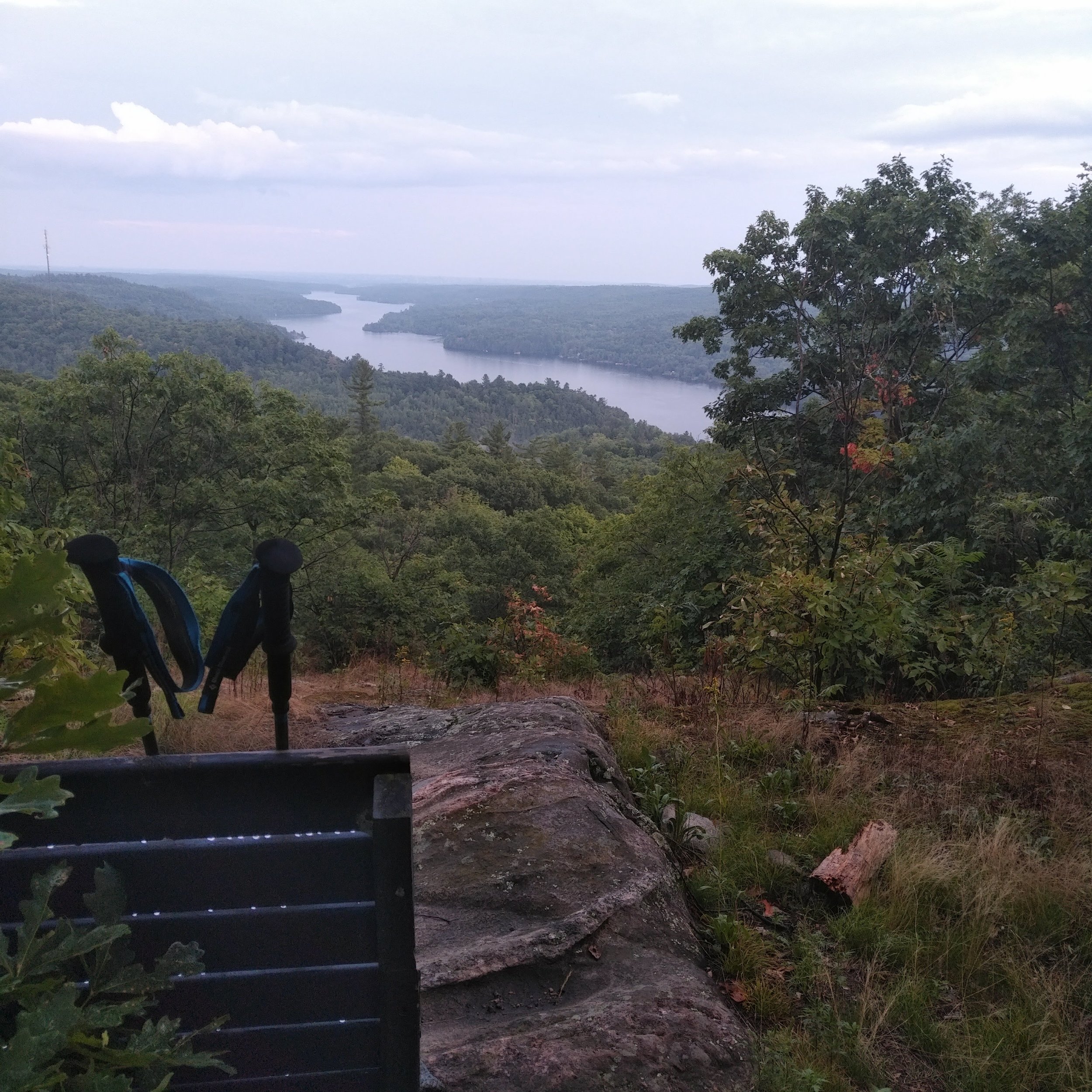
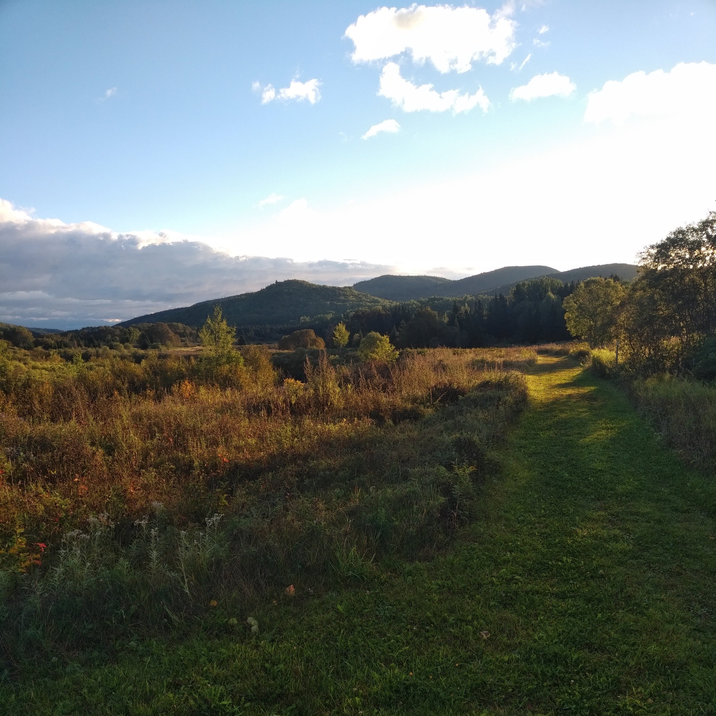
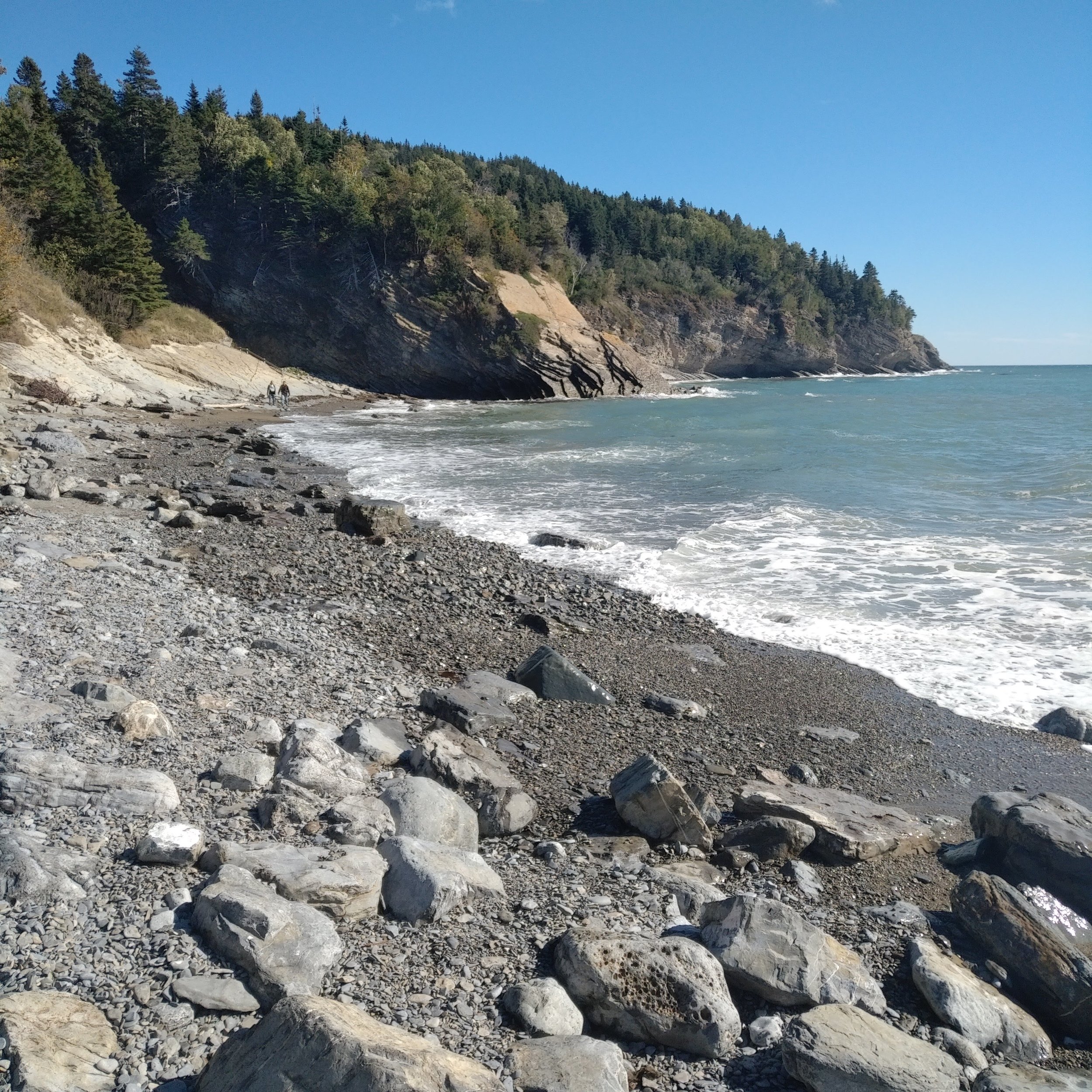
After the first aid station, we continued east along the Sentier Les Cretes trail. This section had two of the steepest climbs of the race and some fantastic downhills as well. It was mostly dense forest with lots of ferns and smaller trees that would then open up every once in a while into lookouts that gave views of the mountains and of the Gulf of Saint Lawrence. At the start of the second big climb, I got stung in the ass by a wasp (second time this summer!) and started yelling profanities. It hurt like hell, but I think it actually took some of the focus off of any muscle soreness and cramping in my legs and made it easier to push through.
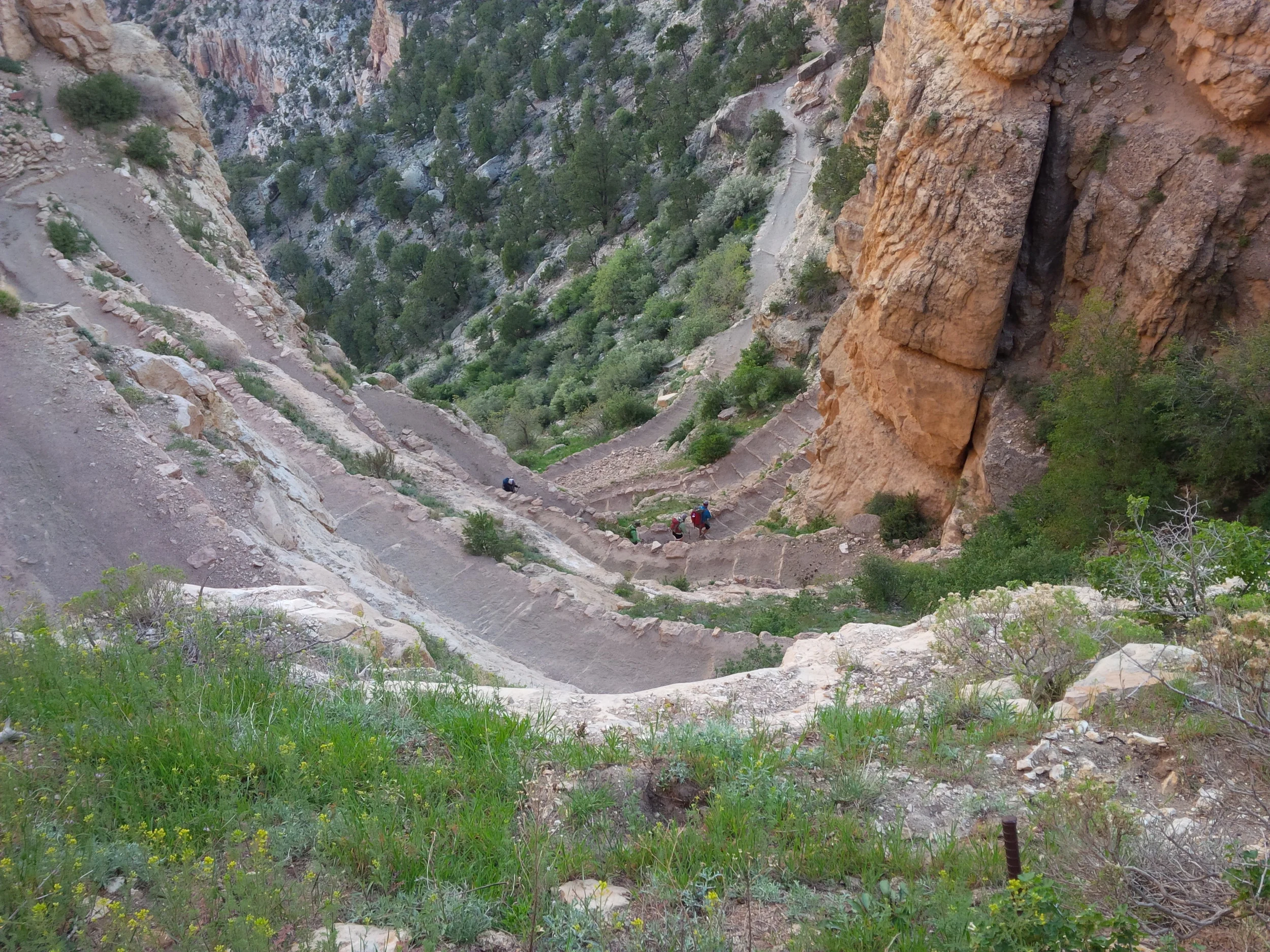
Section 4: Up to Mont Saint Alban (28km to 37km)
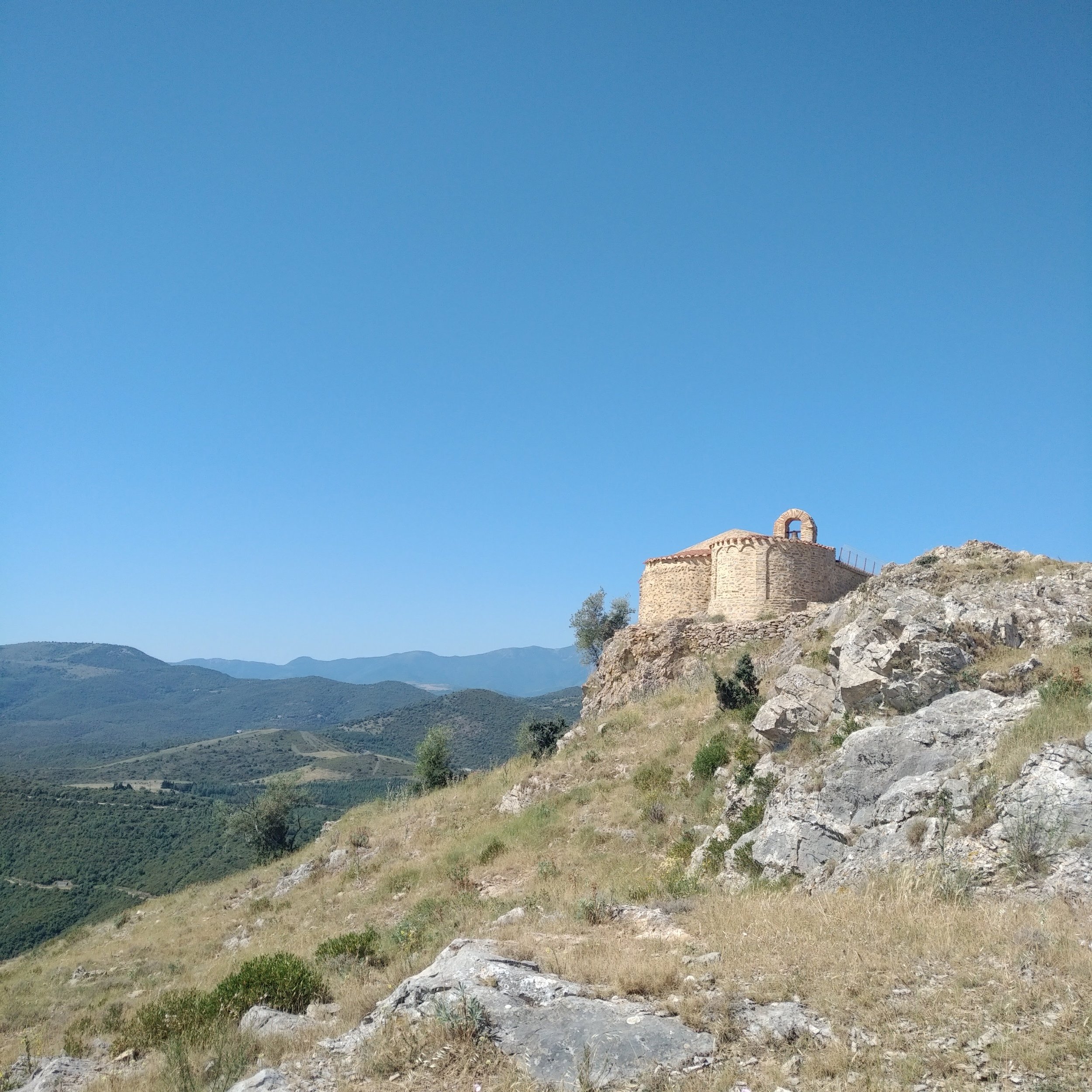
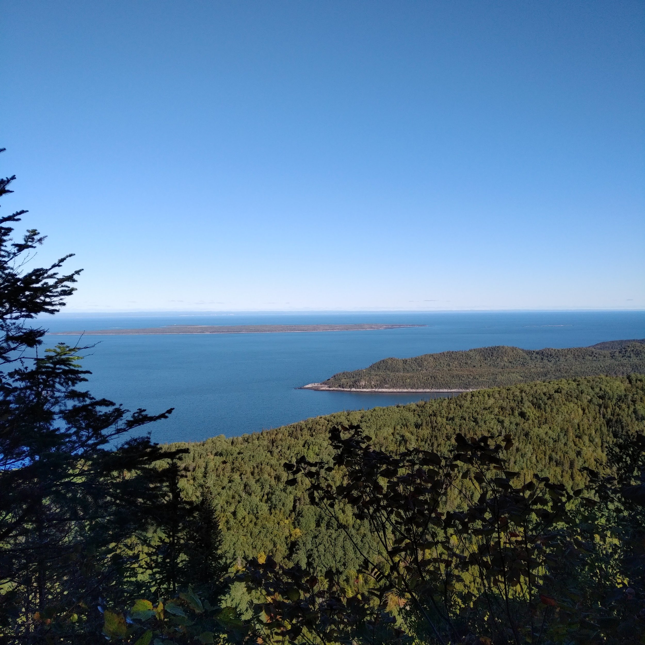
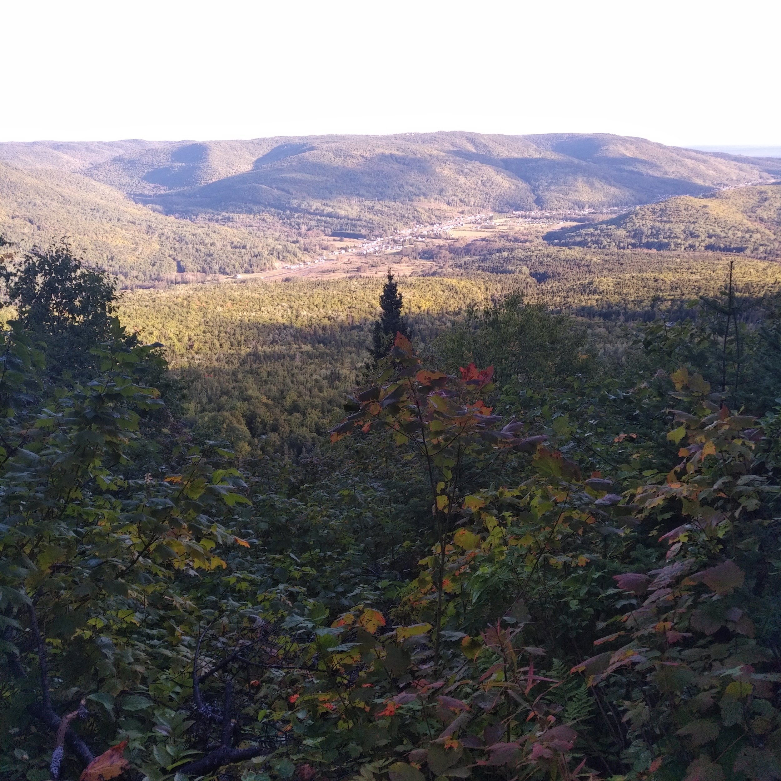
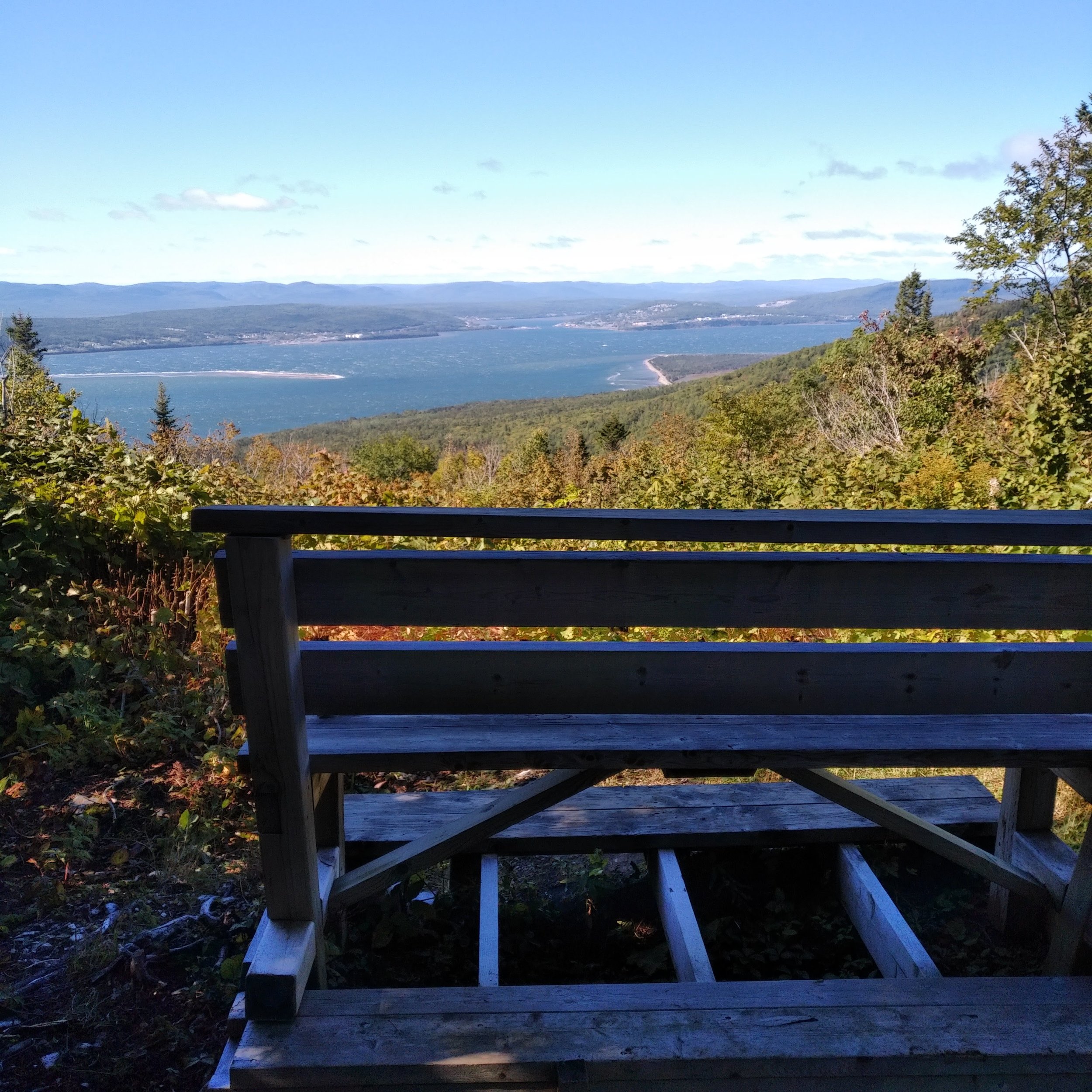
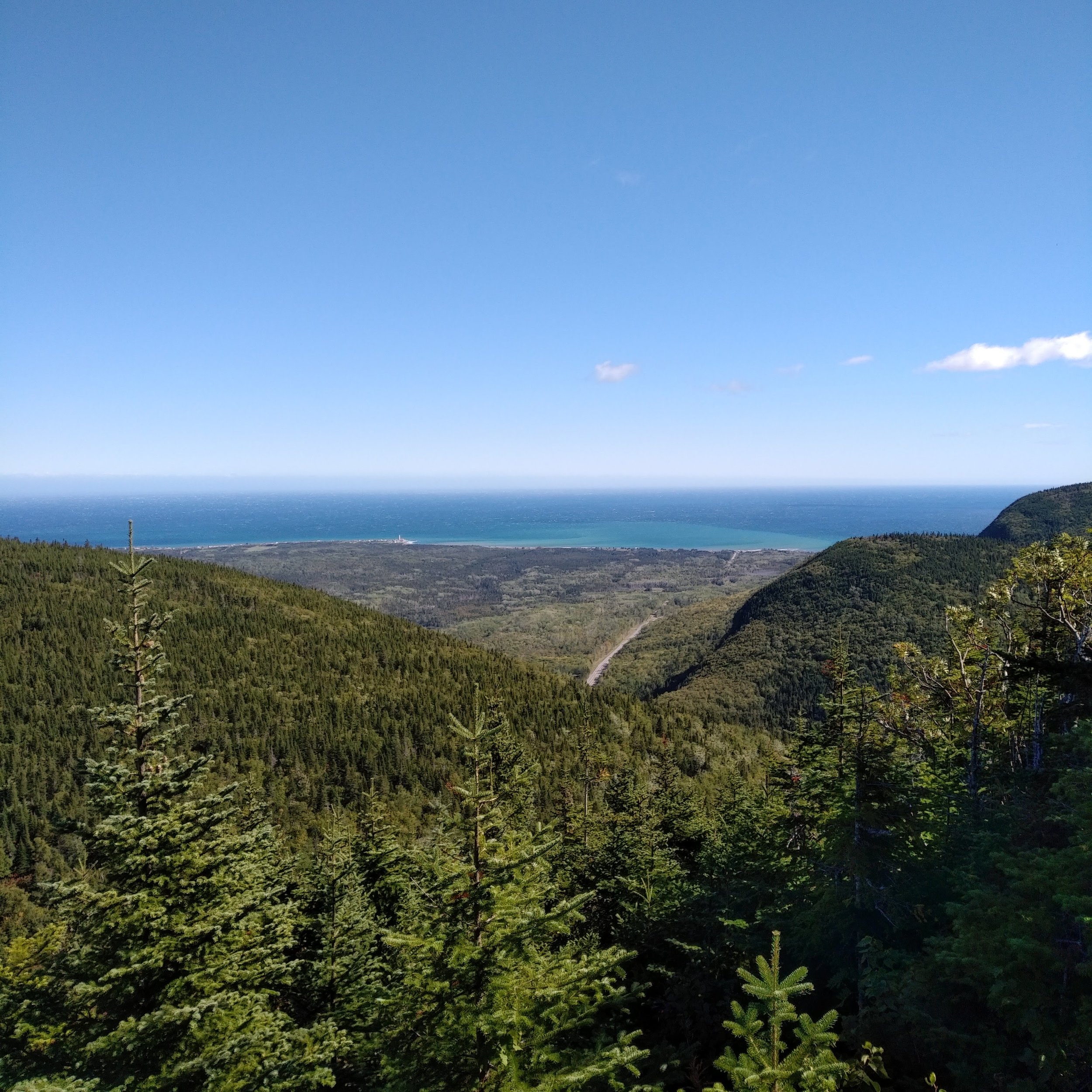
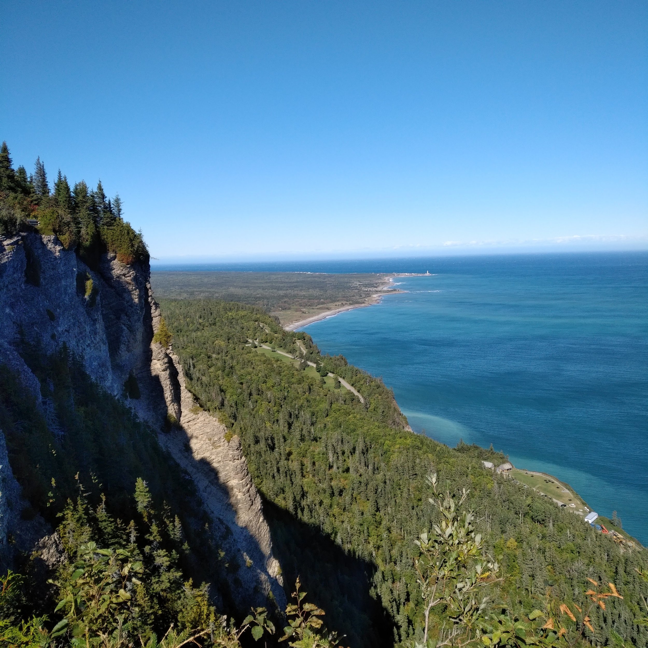
After another aid station at the 28km mark, I headed up another climb. After the initial climb, the trail turned to rolling hills along nice single track with lots of twist and turns and roots. Then about half way through this section, the trail merged onto the Sentier Mont-Saint-Alban trail. All of a sudden, there were many tourists and hikers and also lots of stairs (kind of like Pink Lake or King Mountain in Gatineau Park). The views from this trail are the ones that you see on postcards, looking out to the tip of the Gaspé Peninsula or back along the coast to the west. The views take your breath away and also show you how much further you have to go.

After checking out the amazing views, the trail goes back down into the area that is the finish line for the races, but also the 37k mark and an aid station on the race. This was one of the few parts of the race that I didn't like. Coming into the aid station, we basically ran through the finish line. There wasn't a separate path for runners that were still on course. There was some confusion about who had finished and who was still going resulting in some errors in the posted results. We had to push through people who had already finished our race or the shorter races in order to get to our drop bags and to the aid station food and drinks. I didn't end up taking as much from my bag or from the aid station as I wanted because I just wanted to get away from the crowds and back on the trail.
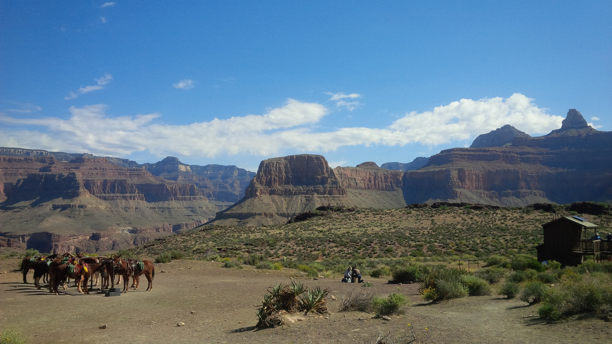
Section 5: Out and back to Land's End (37km to 53km)

The Lynx We saw! Image credit: Ma conquête du Machu Picchu
The final section is an out and back to the tip of the Gaspé Peninsula. The trail is varied, including grass, roots, rocks, and even a beach. On the way out, it is mostly single track and on the way back there is a section that is along a dirt road (though the flagging wasn't always 100% clear and it looks like a few different routes were taken by people on the way back). I was still feeling great at this point and was still running most of the time when it was flat or downhill. On the way out, I saw a large grey animal cross the trail in front of me. I didn't get a good look at it and at first assumed it was a dog and was looking out for its owner. A few seconds later, some other runners came along and asked if I had seen the lynx. It turns out that they, and some other runners, had the lynx in front of them on the trail for quite a while and some of them got great pictures of it.
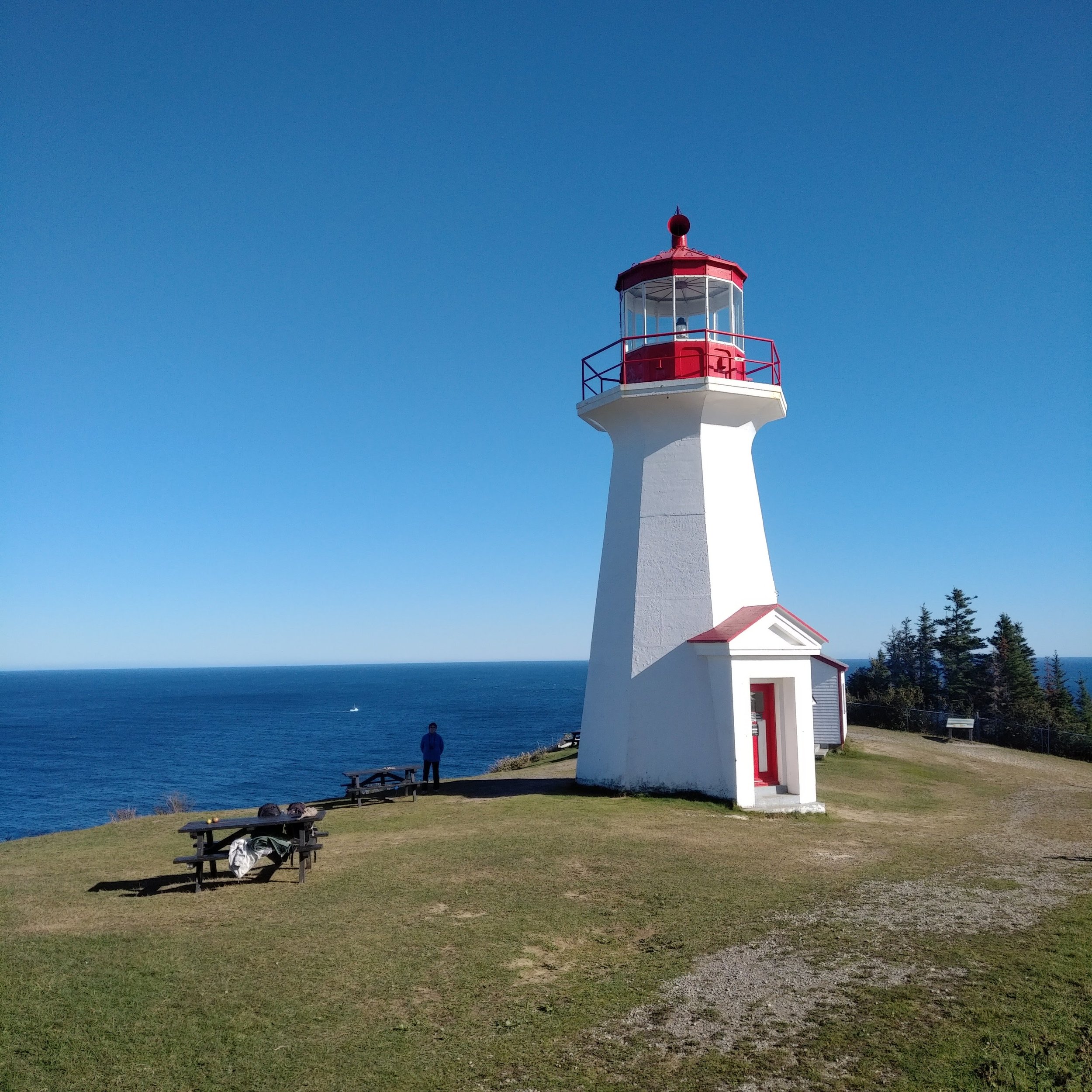
At the end of the Peninsula, there is a Lighthouse. I knew there was supposed to be an aid station there, but as I approached it, I just saw a woman with a clip board at a picnic table checking runners in. Since I only spent a short time at the previous aid station, I hadn't filled up my water bladder and I had nothing left to drink. "Isn't there any water?", I asked. Thankfully, there was. It was just a bit further beyond my view at that point.
As I filled up my water, another volunteer said with a smile on his face, "Aren't you going down to pick up your rock?" pointing down over the cliff. I thought he was joking, I laughed and said no, finished filling up my bottles, got some food and then asked which was the way back. He then pointed me off on the dirt road that headed back towards the finish line. Unfortunately, it turns out he wasn't joking about picking up my rock! Over the cliff, there were actually stairs that went down to a deck where there were painted rocks that were souvenirs for the runners. So it looks like I skipped around 400m of the race and also didn't get my rock. Oops!

Towards the end of the out and back, just when you're getting close enough to both see and hear the finish line, the flags direct you up ONE.LAST.HILL. Looking back at the elevation chart, that hill is nothing compared with the ones that we did earlier in the race, but it seemed to go on forever. I knew there would be an intersection with a volunteer coming up at some point and that I would then be directed back down the same path I'd taken earlier to the finish line. It seemed like it took forever to get to that spot and I was so happy to see him when I did get there.
I ran down from there to the finish line at Grande-Grave. There were a few people cheering, but it was pretty quiet already at that point since most people from the shorter races had already finished and moved on. I crossed the finish line at 9:14:21. There were only 8 women who did the 53km race (though quite a few more were signed up initially) and I placed fifth among the 8 women, a result that I'm pretty happy with.
What’s next?
Everyone seems to ask either:
So, now that you’ve met your goal, are you done?
So, what’s next? Have you signed up for another? A longer one?
The answer at the moment is neither. I’ll keep running. I’m not done. I love the trails and hanging up my shoes isn’t really an option at all. But I have promised both my family and my body that I’ll only do a goal race every second year. So next year is a fun year. I’ll run, I’ll probably do some races, but there won’t be a training plan.
As for the next year, I’ll be watching and considering my options. It will need to be something epic to beat this year’s experience at the Ultra-Trail du Bout du Monde.